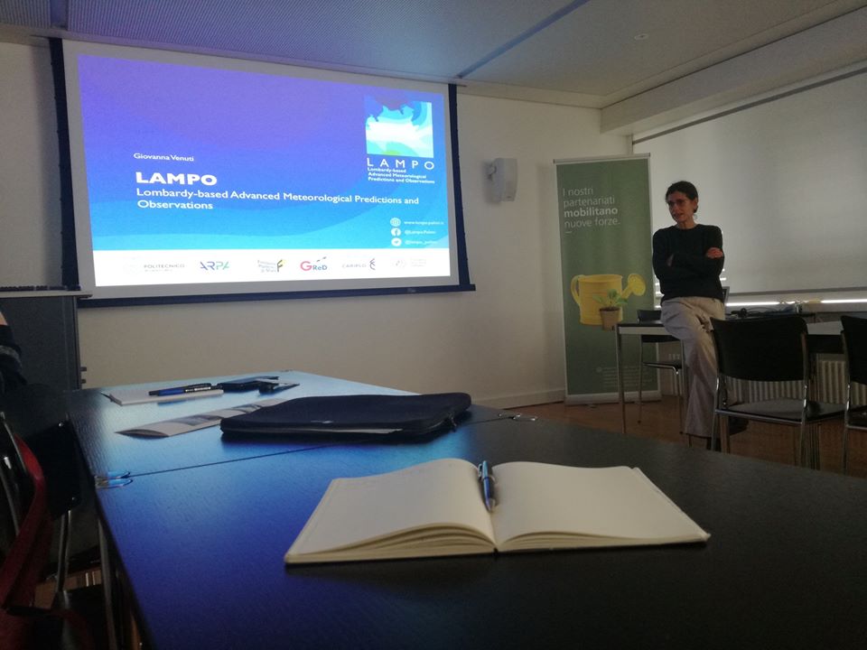
LAMPO
Low cost sensors to lessen risks linked to severe thunderstorms and flooding
May 2018
- April 2021
“Our research should always have practical outcomes for society. This would be the first time that such a system is used to predict massive rainfalls”, Giovanna Venuti, teacher at Politecnico di Milano and scientific director of LAMPO
The initiative
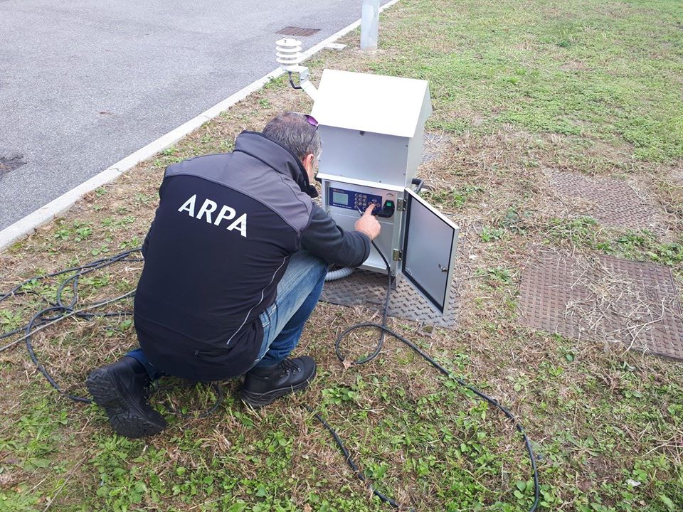
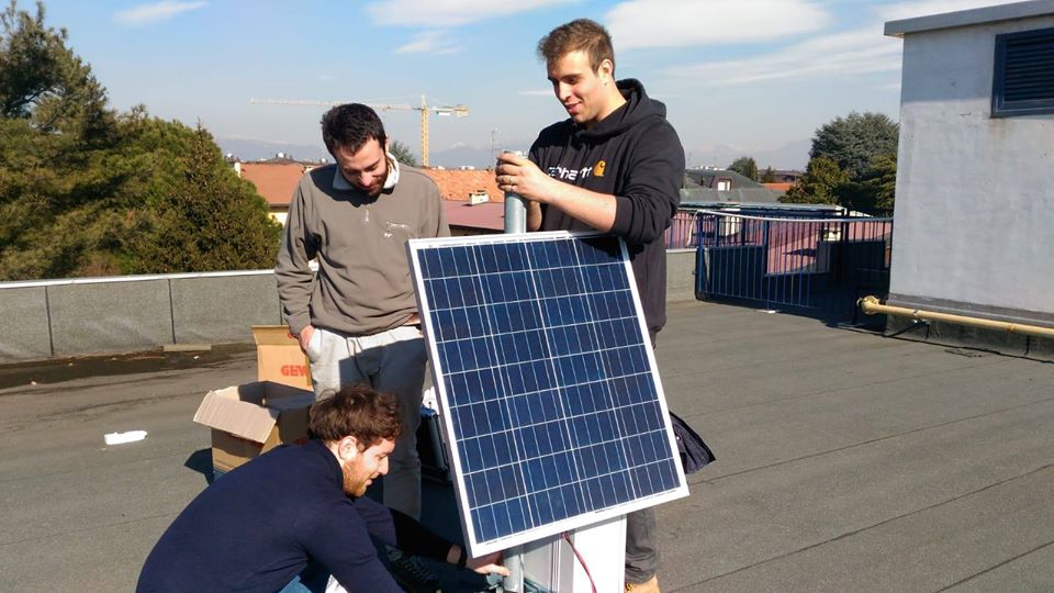
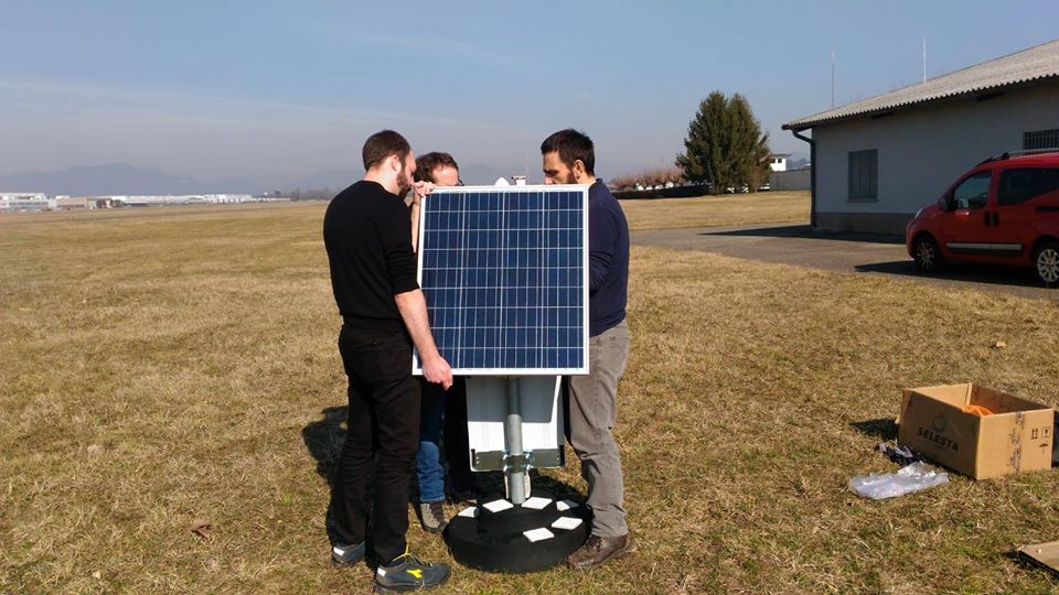
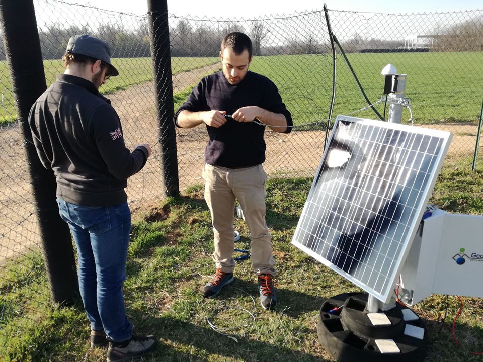
LAMPO was designed to test an innovative low cost system to improve very short term intense local rainfall predictions and mitigate the impact of flooding and hydrogeological disturbances through a widespread network of low cost GPS/GNSS (Global Navigation Satellite System) stations located around Lombardy.
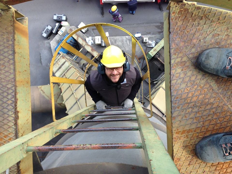
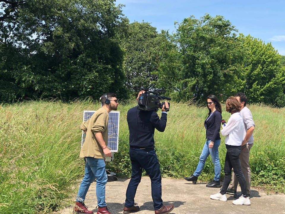
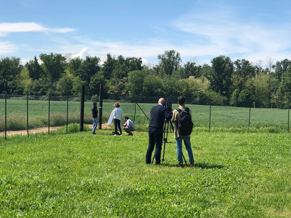
LAMPO uses aerials and sensors, together with a model to estimate water vapour in the atmosphere, which is a key factor in the formation of thunderstorms, to improve the short-term forecasting of severe local rainfalls and set up an early warning system. Atmospheric vapour is measured through monitoring stations and data elaboration software that utilises the geolocation and navigation GNSS satellite system. The wide satellite coverage provided by interaction between American GPS and other systems, including Europe’s Galileo, gives much greater precision in the positioning of sensors and in estimating water vapour. Currently, the high cost of GNSS receivers limits its use for monitoring water vapour at a local level. LAMPO’s challenge is to use low cost prototype instruments and so install more measurement stations. The reference stations for LAMPO were installed in early 2019 in a zone between Milan, Como and Monza Brianza, in the area of the Seveso River.
The role of the Foundation
Fondazione Politecnico di Milano is a partner in the initiative
Technical details
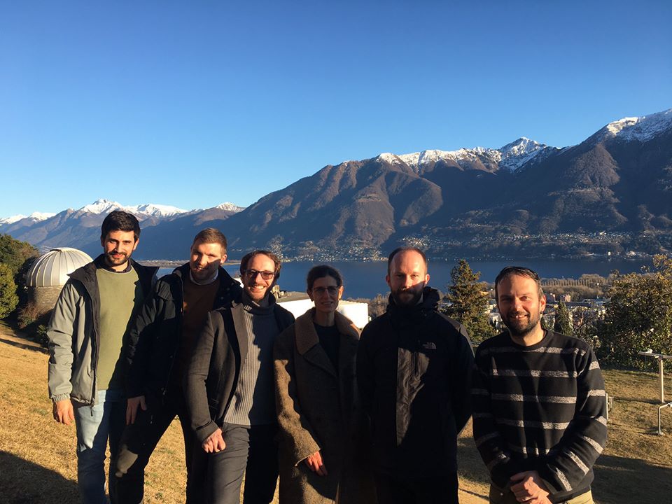
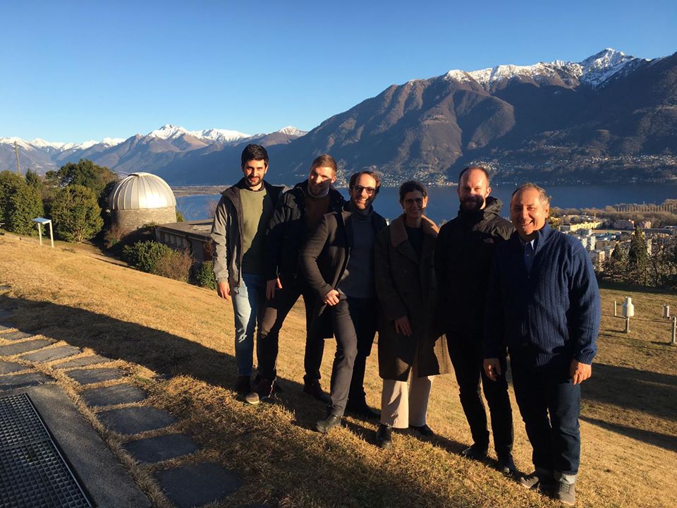
LAMPO (Lombardy-based Advanced Meteorological Predictions and Observations) is a research project financed by Fondazione Cariplo. The lead partner is the Geomatics and Earth Observation Laboratory GEOlab of Politecnico di Milano and involves ARPA Lombardia – Regional Protection Agency, GReD – Geomatics Research & Development, a Politecnico spin-off, University of Padova – Department di Geoscience and Fondazione Politecnico di Milano.
Financial supporters
Partners
Fondazione Politecnico di Milano;Politecnico di Milano; ARPA Lombardia – Agenzia Regionale per la Protezione; GReD – Geomatics Research & Development; Università di Padova